Local Groups
Groups
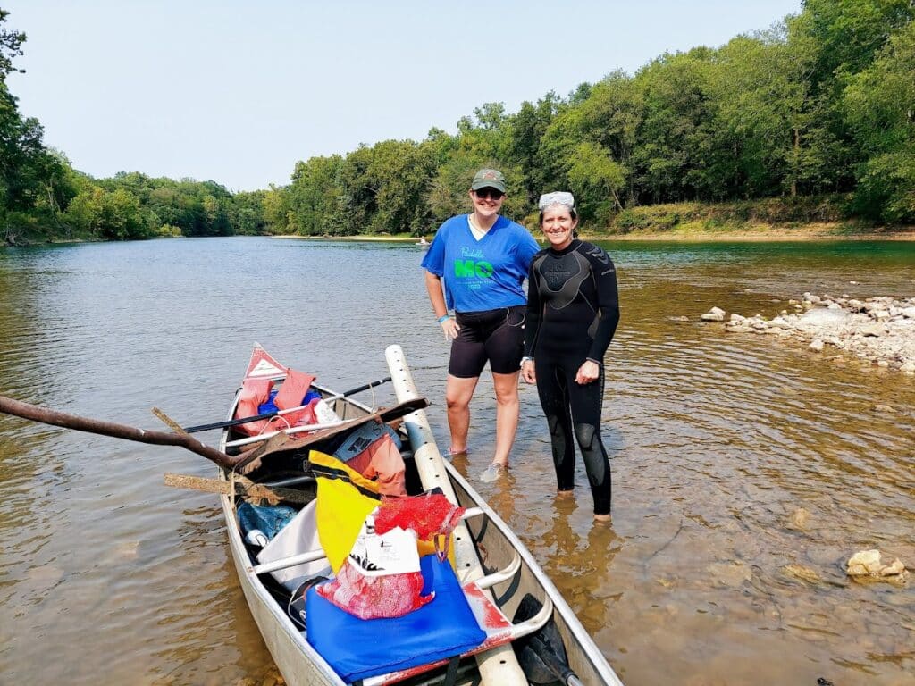
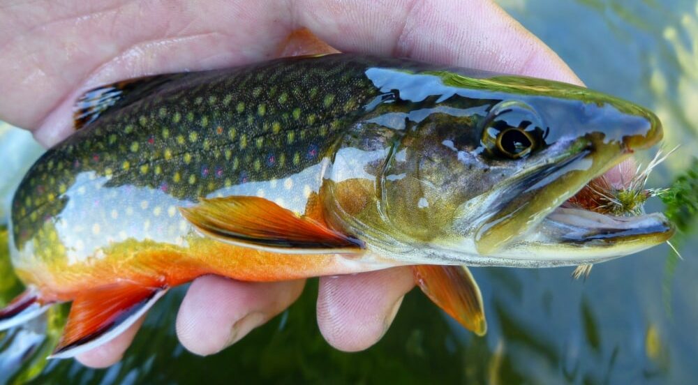
Stream Teams United
Stream Teams United promotes and supports Missouri Stream Teams and Stream Team Associations. We facilitate education to build appreciation and knowledge of Missouri stream resources, and support stewardship projects to improve the health of Missouri’s rivers and streams.
Dry Run Creek Watershed Improvement Project
The Dry Run Creek Watershed Improvement Project addresses two state-designated water quality impairments—stream biology and bacteria—by engaging landowners in urban and rural areas to adopt beneficial conservation practices and sustainable land-use management.
Vermillion Headwaters Watershed Partnership
American Farmland Trust is working with local stakeholders through the Vermilion Headwaters Watershed (VHW) Partnership to support the adoption of well-managed conservation cropping systems, leading to improvements in water quality and soil health. If you farm in Livingston or Ford Counties, Illinois and/or have farmland in the Vermilion Headwaters Watershed, there are many technical and…
Turkey River Headwaters & Chihak Creek Water Quality Project
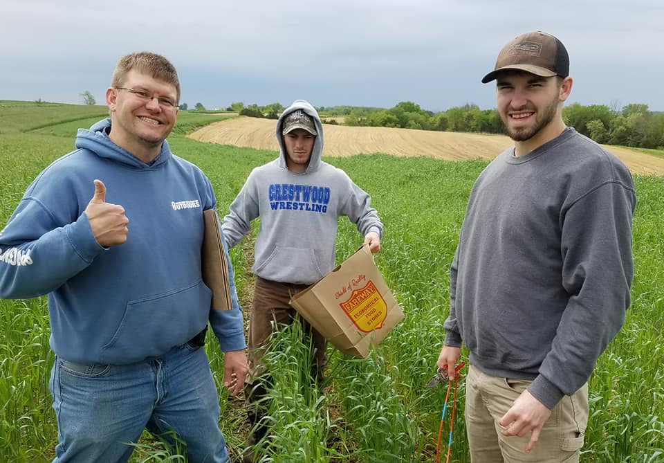
We work with farm operators & landowners in the Turkey River headwaters & Howard County to implement conservation practices and techniques to eliminate nutrients entering our water bodies. News & Stories Corn, Cows and…Trout Howard County Leading the Way With Water Quality Efforts
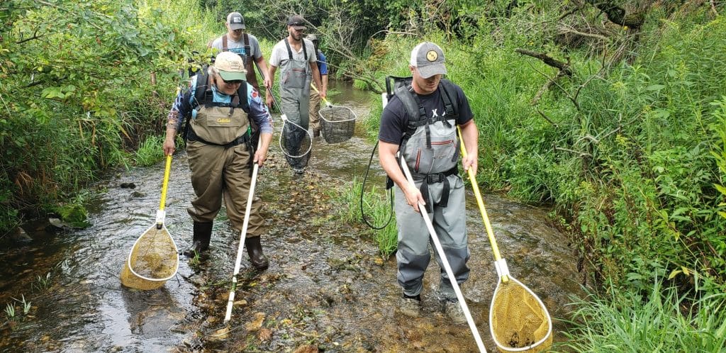
Silver Creek Water Quality Project
Silver Creek Watershed is a 22,410 acre sub-watershed of the Upper Iowa River in northeast Howard County and northwest Winneshiek County. This project began in 2012 and since has invested over $8.3 million in conservation. Our goal is to reduce bacteria levels enough to remove the stream from the Iowa DNR 303(d) impaired waters list….
Shell Lake-Yellow River Farmer Led Watershed Council
Working as a non-profit organization to improve soil health and water quality through outreach, education, and conservation practices that improve sustainable agriculture.
Seven Mile Creek Watershed | Eastern Nicollet County
Our group is composed of local partnering organizations and farmers who are pursuing opportunities to improve water quality, fish habitat, soil health, and community through practices that are beneficial to the farmer’s operations.
Sauk Soil & Water Improvement Group
We are improving soil health and water quality through regenerative agricultural practices and education, to build resilient family farms and thriving rural communities, including healthy soils and clean waters.
Middle Cedar River Watershed
Our project is aligned with state goals to reduce nutrient pollution we contribute to the Upper Mississippi by 45%. We work in collaboration with federal, state, county, private and local groups and individuals, including the Natural Resources Conservation Service, county Soil and Water Conservation Districts, and the City of Cedar Rapids. Our primary focus is…
- « Previous
- 1
- 2
- 3
- 4
- Next »
Want to see your group in this directory?
Fill out and submit this form to our coordinator, who will review it and contact you to confirm details.
We look forward to hearing from you!