Soil Health & Watershed Groups
Maquoketa River Watershed Management Authority
Maquoketa River Watershed
Eastern Iowa

The Maquoketa River WMA formed in 2017 with 34 member cities, counties and SWCDs. The watershed spans nine counties and includes just over a million acres. In collaboration with the University of Iowa and Iowa DNR, planning and public affairs graduate students are working with us to complete the final version of our watershed management plan. Within the watershed, we’re working with communities to address water concerns and demonstrate best practices for soil health and reducing erosion. We’re excited about what the future holds for the WMA!
News & Stories
Watershed or Service Area Map

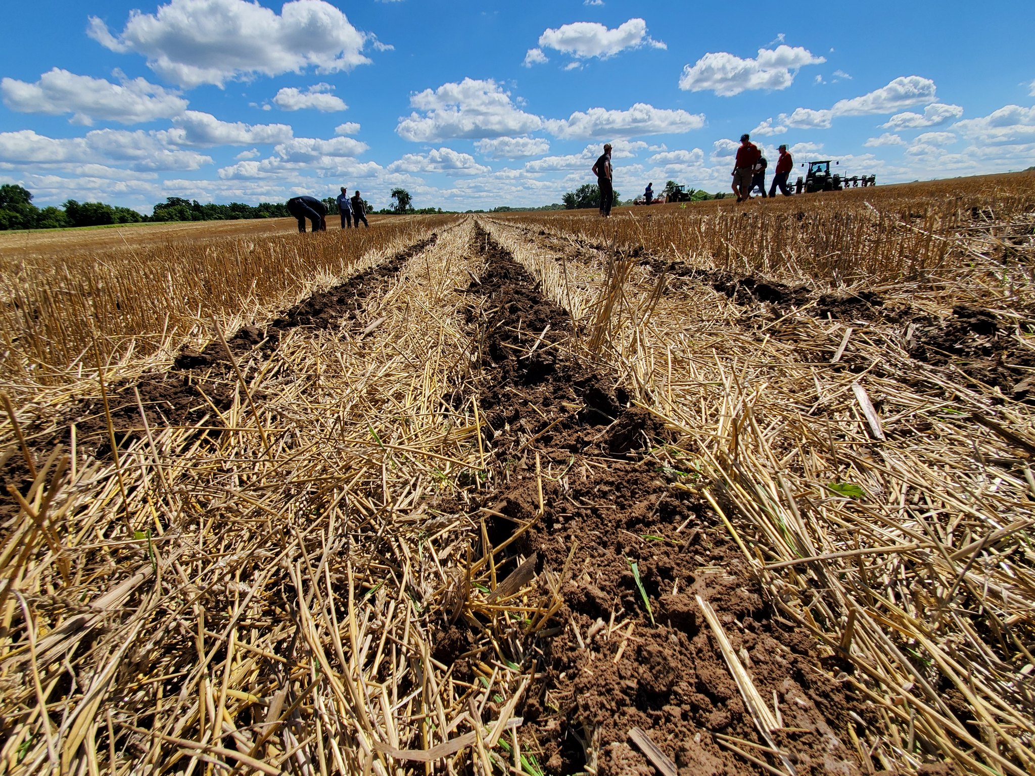
Additional Photos

Want to be in this directory?
Fill out and submit this form to our coordinator, who will review it and contact you to confirm details. We look forward to hearing from you!